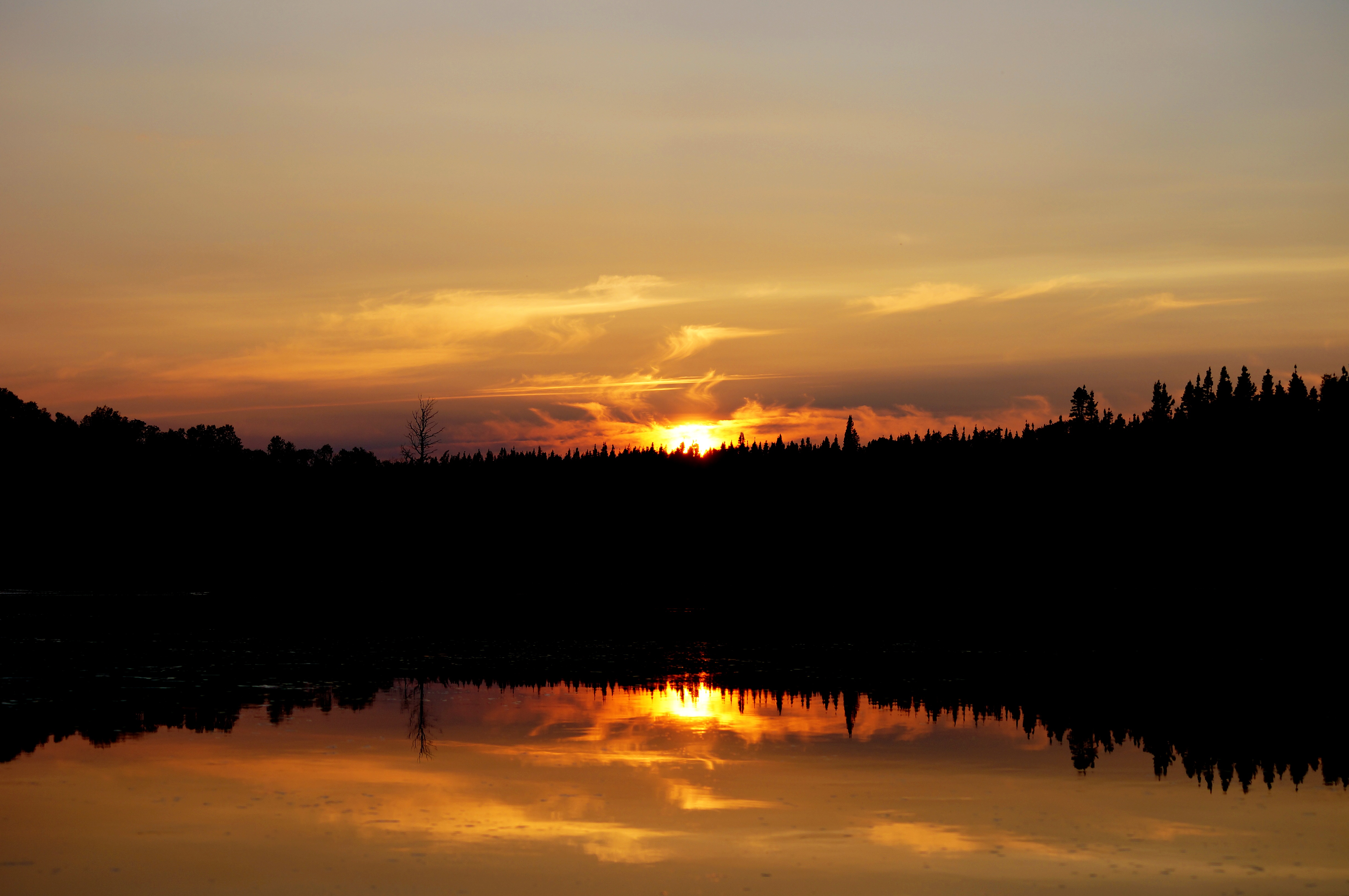
About Cavanaugh Lake (Sunset Pond)
Cavanaugh Pond (also known as Sunset Hills Pond) is a small, shallow lake in southeastern Plymouth, just north of Sunset Hill Elementary School. The lake has a relatively small drainage area of 126 acres which includes 3.6 acres of high quality wetlands. Water quality appeared to be improving in the mid 1990’s. BCWMC monitoring in 2019 shows the lake has good water quality and a nice native plant community. A small patch of the aquatic invasive species, curly-leaf pondweed was identified in 2019 and will be closely monitored by volunteers on the lake to ensure it doesn't begin impacting native plant communities.
Links
Projects
Quick Facts
| BCWMC Classification | Priority 2 Shallow Lake |
| Watershed Area (acres) | 126 |
| Lake Size (acres) | 13 |
| Average Depth (feet) | 5.3 |
| Maximum Depth (feet) | 10.8 |
| Ordinary High Water Level (feet) | -- |
| Normal Water Level (feet) | -- |
| Downstream Receiving Waterbody | Normally landlocked; Plymouth Creek with large rain events |
| Location (City) | Plymouth |
| MPCA Impairments | None |
| Aquatic Invasive Species | Curly-leaf pondweed, purple loosestrife |
| Public Access | No |

About Cavanaugh Lake (Sunset Pond)
Cavanaugh Pond (also known as Sunset Hills Pond) is a small, shallow lake in southeastern Plymouth, just north of Sunset Hill Elementary School. The lake has a relatively small drainage area of 126 acres which includes 3.6 acres of high quality wetlands. Water quality appeared to be improving in the mid 1990’s. BCWMC monitoring in 2019 shows the lake has good water quality and a nice native plant community. A small patch of the aquatic invasive species, curly-leaf pondweed was identified in 2019 and will be closely monitored by volunteers on the lake to ensure it doesn't begin impacting native plant communities.
Quick Facts
| BCWMC Classification | Priority 2 Shallow Lake |
| Watershed Area (acres) | 126 |
| Lake Size (acres) | 13 |
| Average Depth (feet) | 5.3 |
| Maximum Depth (feet) | 10.8 |
| Ordinary High Water Level (feet) | -- |
| Normal Water Level (feet) | -- |
| Downstream Receiving Waterbody | Normally landlocked; Plymouth Creek with large rain events |
| Location (City) | Plymouth |
| MPCA Impairments | None |
| Aquatic Invasive Species | Curly-leaf pondweed, purple loosestrife |
| Public Access | No |
Links
- 2024 BCWMC Water Monitoring Report
- 2019 BCWMC Water Monitoring Report
- 1998 BCWMC Water Monitoring Report for Cavanaugh (Sunset Hills) Pond, South and North Rice Ponds
- City of Plymouth Water Resources Information


